 |
|
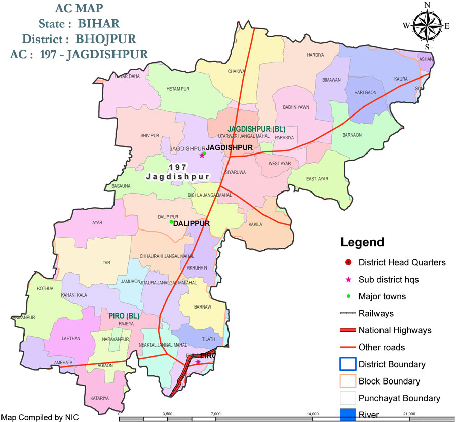
| (Source: Cheif Electoral Officer, Bihar) | |
 |
|
| Geography | |
| 20 Km. far from Ara city. |
|
| Climate | |
| Jagdispur lies in North-Eastern part of interior India, so its climate is greatly influenced in any season. The climate there is of moderately extreme type. The hot weather begins about the middle of March, when hot westerly winds begin to blow during the day. The temperature may even increase to 43° Celsius in Summer. 'Loo', which are local summer hot winds, blow even at a speed of 30–40 km (25 mi) h-1. The months of April and May are extremely hot. In a normal year, the monsoon sets in by the third week of June and the rains continue with intermissions till about the end of September or the early part of October. Winter Season begins from the month of November and lasts till the beginning of March. From the month of April till the first break down of the monsoon, the district experiences occasional thunder-storms also. Jagdispur is situated at a high elevation above sea level and is not surrounded by any large river basin so is safe from floods and other natural calamities. |
|
| Rainfall | |
| During monsoon, Jagdispur gets about 70 to 100 cm as an average of rain and also some times local wind storms with rains. Rains set in June accompanied by a fall in temperature and increase in humidity. The area experiences maximum rains during the months of July and August. Jagdispur gets easterly winds from June to September, which brings rains, from October the direction of the winds is reversed and westerly winds blow till May. There is slight rainfall in October, but November and December are quite dry. Some winter rain occurs in January and February. | |
| Winters | |
| Winter Season begins from the month of November and lasts till the beginning of March. In Winters, the Temperature may drop to 6° Celsius creating a thick layer of fog all over the city which prevents us to see not far than 10 to 30 meters. In the winters of 2009-2010, Jagdispur and whole district of Bhojpur and also some nearby district including Patna experienced extreme climate with a record fall in temperature to 4°-5° Celsius which was at that the same time even less than Simla. The coldest month is January. It becomes Necessary to wear Heavy Woolen Clothes during Winter. | |
| Irrigational facilities | |
| Jagdispur is not surrounded by any river is situated at a high elevation, so this sometimes creates the problem for irrigation. River Ganges flows 24 km away in the Western direction of the city and it is not possible to control irrigation with river Ganges. In the Sub-division most of the irrigation is done with help of Big Sone Canal which runs from the River Sone covering the Sub-Division from East to West and drains in River Ganges in the West. Sub-Canals are made which creates a network of canals in not only in the sub-division but also in the whole district. | |